Geodetic services
Definition Geodetic reference system

Geodetic reference system definition

A geodetic network consists of a set of points which serve as a reference for topographic or topometric work. The coordinates are determined by different XYZ positioning techniques (GNSS precise positioning, tacheometric measurements, direct or indirect leveling).

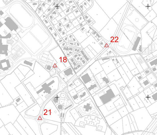
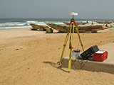
Geodetic services for Geodetic Reference Systems (GRS)

With 60 years of existence, Sintégra has acquired extensive experience in geodetic services and has the expertise to provide solutions to all types of geodetic and geo-referencing requirements to create a network or reference system. Our experts deliver assistance and advice throughout the different network design and production phases, depending on the needs expressed, and in collaboration with prime contractors and local or national geographic organizations, with which they are used to working.

Our engineers design and implement different types and scopes of reference systems (or networks) at the infrastructure, city or country scale (for example, we have already worked at the scale of Senegal). The systems produced can be of a different order (first, second, third) and their level of accuracy and density may vary depending on their usage.

Our highly qualified teams have the specialized, advanced expertise needed to deliver this type of service. The design and result verification phases are handled by our experts, and the field measurements (GNSS, leveling, tacheometry) are performed by our teams of experienced surveyors.

We are fully equipped to handle the main phases of creating a geodetic network including:

  • Designing and monitoring materialization,
  • On-site positioning measurements,
  • Calculating coordinates and qualifying results.

Applications of geodetic networks

A geodetic reference system may be used for a wide range of requirements:

  • Municipal networks:
    • Linkage of as-built roadwork plans,
    • GIS (Geographic Information System) implementation
  • GRS for large scale structures or infrastructures:
    • Tunnels,
    • Viaducts,
    • Dams,
    • Highways,
    • Rail lines,
    • River navigation channels,
    • Energy distribution, telecommunications.
  • National and international networks:
    • Reference points for cadastral maps,
    • Reference system for the creation of equipment and infrastructures of a developing country (communication channels, train lines)
    • System for a cross-border structure (e.g. Lyon-Turin train link)…
  • Local authorities and cities:
    • Geo-referencing data for GIS (Geographic Information System).
  • Structure testing and monitoring reference framework:
    • Monitoring unstable natural sites,
    • Monitoring structural deformations and infrastructure stability.

Equipment

Our company has a large number of dual frequency geodetic GNSS receivers as well as more traditional instruments (tacheometers and accuracy level tools)

We also implement specific software adapted to calculating networks which require special adjustments:

  • Leica GeoOffice or Bernese for GNSS data calculations
  • LTOP for traditional networks.

references

APRR – A71 – Rampe des volcans

Puy-de-Dôme (France)


Polygonal reference for project and widening to 3 lanes.

RTE – Electricity Transportation Network – Underground Interconnection

Savoie-Piémont (France – Italy)


Polygonal reference comprised of 79 points for geo-referencing topographic work executed in the study and development phase.

Lyon Turin – Rail system

(France – Italie)


Geodetic network specifically created for building of the 57 km base tunnel – GNSS Observations carried out on behalf of the French IGN (National Geographic Institute) and Italian IGM (Military Geographic Institute).

Republic of Senegal – Ministry of Economy and Finance

Second order national geodetic services covering the entire territory – 145 points materialized and determined in XYZ for geo-referencing cadastral maps.