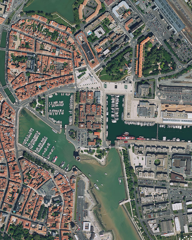
With more than sixty years field experience in aerial surveys, Sintégra provides multidisciplinary, efficient services with fast turnaround times. We are a specialist in photogrammetry and a genuine trailblazer in France in airborne lidar. Our company produces high quality topographic surveys, especially for complex projects that require a combination of several aerial, terrestrial, or underwater surveying techniques.
Our extensive know-how in aerial survey services means that we develop optimum flight plans depending on the elevation (trajectory and image capture spots) to limit flight time and keep costs down. We provide flyover solutions tailored to the constraints of any situation using our acquisition techniques by plane, helicopter or drone. We deliver GIS (Geographical Information System) products that answer our customers’ needs in terms of quality and accuracy:
- Orthophotomap
- Vector maps
- DEM (Digital Elevation Models)
- DSM (Digital Surface Models)
- DTM (Digital Terrain Models)
- 3D models…