Our company is fully equipped to execute this type of service and has its own tachometers, mobile and static scanners, and bathymetric echo-sounders. All of our equipment is state of the art.
Thanks to our large team of highly qualified professionals and complete range of in-house equipment, we regularly deliver complex solutions under very tight deadlines, in particular when it comes to answering bids.
Over time, we have developed a solid network of trusted partners both in France and abroad, ensuring that we can quickly and efficiently mobilize local staff when needed.
With our exceptional multidisciplinary expertise we deliver solutions to a very wide range of needs including:
- Topographical surveys used to produce roadmap or natural terrain plans, in urban or rural environments, for land use planning projects,
- 3D data acquisition of objects or complex scenes using terrestrial lasergrammetry to deliver high density contactless surveys using a laser scanner (lidar),
- Establishment of geodetic networks for georeferencing of topographical or topometrical data by setting up and determining XY and Z reference points,
- Geotechnical and structural monitoring for tracking geometric deformations of an unstable structure or natural site with a high level of reliability and accuracy,
- Underwater surveys using bathymetry and echo-sounders (single beam and multibeam technology),
- Underground utility surveys to detect and georeference the position of buried pipes,
- Dynamic 3D surveys using mobile mapping of large areas or large linear infrastructures, using lidar embedded on a moving vehicle.
For complex projects which require surveys at different scales, with different density levels, and for hard to reach or poor visibility conditions, Sintégra can deliver its terrestrial surveys using aerial mapping, such as photogrammetry (by plane, helicopter or drone) or airborne lidar.
Some examples of multidisciplinary terrestrial mapping:
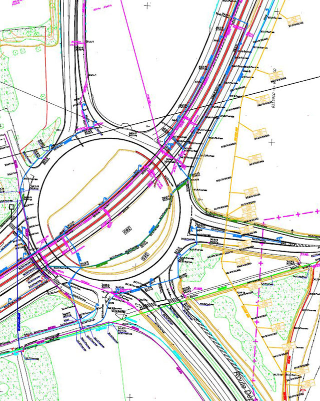
- Highway topographical maps:
- Topographical survey using airborne lidar and photogrammetry,
- High density surface surveys using mobile mapping of roads,
- Utility surveys using traditional tacheometric topography with detection of underground utilities.
- Penstock pipe supplying a hydroelectric plant:
- Topographical survey of surroundings of structures using tacheometry,
- 3D modeling of the penstock using laser scanning,
- 3D modeling of the penstock using drone photogrammetry in inaccessible cliff areas.