Airborne LiDAR
Definition LiDAR

Lidar definition

Lidar, which stands for light detection and ranging, is a laser scanning remote sensing technique. Lasergrammetry is non-invasive, highly accurate, and especially suited for topographic surveys of vegetation, rugged, or hard to access zones.

Aerial mapping and topographic surveys with airborne LiDAR systems

With more than ten years of field experience in airborne lidar combined with our extensive expertise in other areas of aerial mapping, Sintégra provides solutions to all types of requirements involving several surveying technologies.

In 2006, we were the first company in France to provide airborne laser scanning services. We have selected and assembled the different components of our lidar systems, and we have developed all the navigation and control software internally in order to be fully autonomous and deliver the fastest turn-around times. We provide solutions for each specific need.

Our state-of-the-art systems integrate the latest innovations, thanks to our company’s investment in R&D, in particular in topographic lidar surveys.

We implement airborne lidar on aircraft or helicopters, depending on the site location, its geography and the terrain being surveyed (sensor in a horizontal, inclined, or vertical position). We often combine lidar surveying with other techniques such as photogrammetric surveying or bathymetric surveying, to deliver the most comprehensive, accurate representation of the terrain.

We are equipped in-house with four 3D laser scanners with different specifications. Consequently, we can meet the demands of our customers quickly, anywhere in the world.

Each project is carefully assessed to guarantee the highest quality and optimal costs.

Airborne Lidar applications

Lidar systems are especially efficient for large land areas or for sites that are difficult to access using other technologies, in particular in case of vegetation, when it is important to represent the morphology of a terrain in a dense, comprehensive manner.

There are many diverse applications:

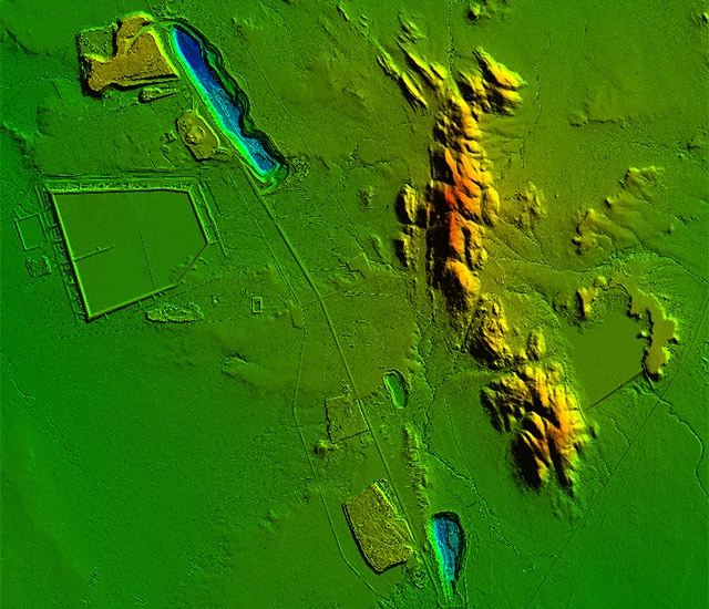
  • Production of topographic survey deliverables:
    • DSM (Digital Surface Model),
    • DTM (Digital Terrain Model),
    • DEM (Digital Elevation Model),
    • CHM (Canopy Height Model),
    • DHM (Digital Height Model),
    • Intensity images
    • Vector maps…
  • Hydrography and dams:
    • Topographic maps,
    • Preliminary impact studies,
    • Measuring hydraulic drop height,
    • Dam tank calculations,
    • Rising water level simulations,
    • Watershed calculations, runoff…
  • Quarries and mines:
    • Monitoring operations,
    • Volume calculations,
    • Site rehabilitation…
  • Environmental studies:
    • Forestry,
    • Glaciology…
  • Forestry and agriculture:
    • Potential irrigation area,
    • Forestry inventory…
  • Infrastructure studies and corridor mapping:
    • Land use planning (civil engineering, Building and Public Works, architecture, urban planning),
    • Transport (road, rail, river),
    • Pipelines,
    • Power lines,
    • Linear projects (rail, route, etc.),
    • Fiberoptic installation…
  • Natural hazards:
    • Flood risk mapping,
    • Deformation monitoring (land slides, material transport, erosion),
    • Gravity risks (rockfall trajectories),
    • Avalanche risk mapping
    • Glacier monitoring,

Surveying technologies and equipment

We have four lidar systems based on RIEGL laser scanners, offering technology that integrates full waveform recording for an infinite number of echoes and management of multiple returns. Data processing is performed using a computational workflow developed by Riegl and the Terrasolid software package.

The fact that we have our own hardware and software gives us considerable autonomy in the field in case of unforeseen events.

We are committed to providing solutions to the growing need for drone lidar surveys. Currently, these systems do not perform well enough to deliver satisfactory results, but we are following technological advances in this field closely and we invite you to contact us for more information.

références

Euro-métropole de Strasbourg

Bas-Rhin (France)


Acquisition aérienne de données 3D – Levé LiDAR aéroporté 9 points/m² – Colorisation photogrammétrique et classification en 6 classes sur 328 km² pour projets d’urbanisme, gestion des espaces verts et mise à jour du SIG.

Compagnie Nationale du Rhône (CNR) – Le Palier d’Arles

Bouches du Rhône (France)


Levé LIDAR haute densité associé à la production d’orthophotoplans haute résolution, surveillance des profils en long de digues et suivi environnemental.

SNCF – Ligne Nevers-Chagny

(France)


Plan photogrammétrique 1/500 avec altimétrie LIDAR – Orthophotographie à 5 cm/pixel sur 163 km pour études d’électrification de la ligne ferroviaire.

Office National des Forêts (ONF) – Massifs forestiers

Guyane (France)


Levé Lidar à 7 points/m² sur 22 260 ha pour étude forestière.