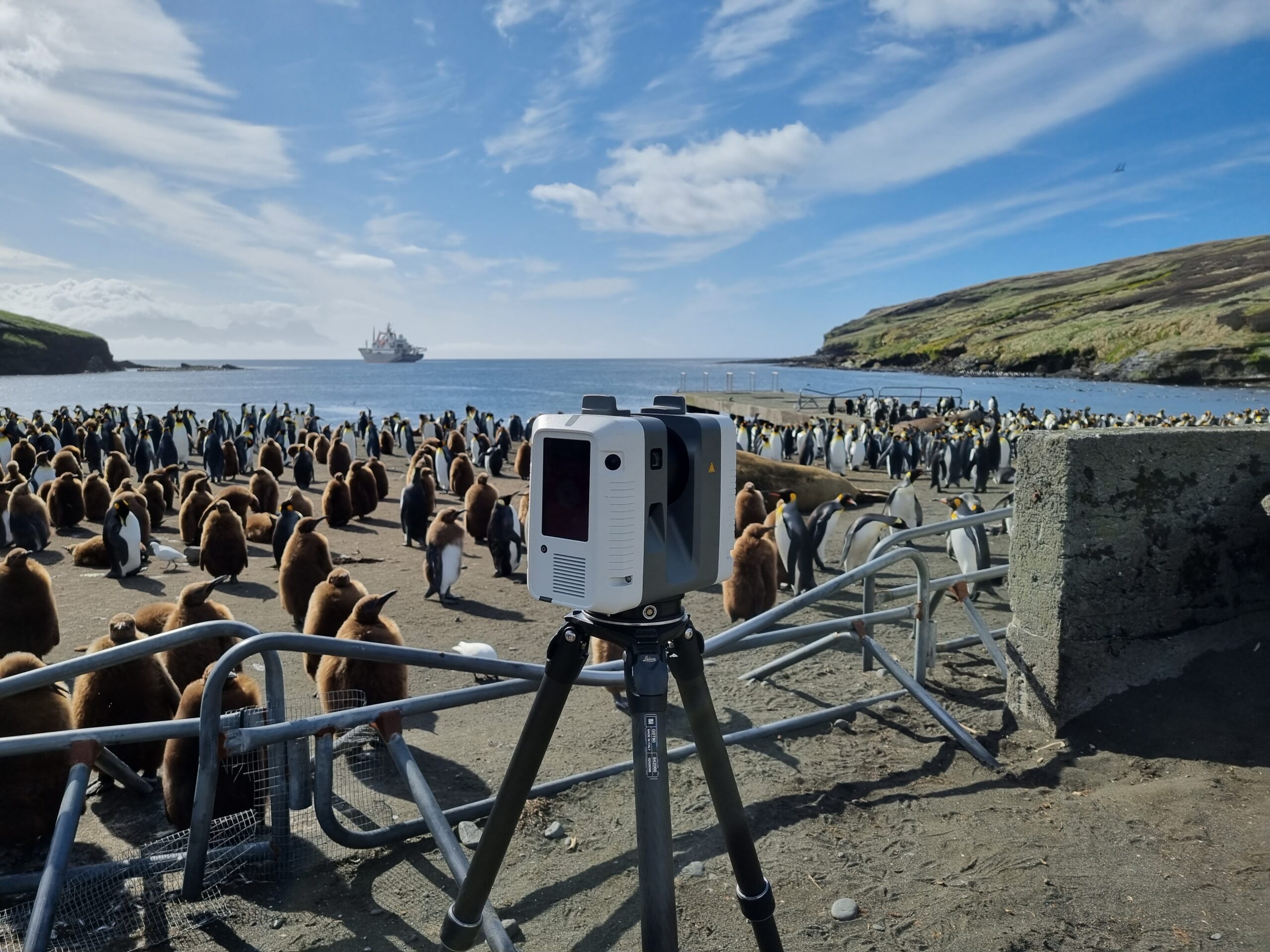
Specialist in Topography & Photogrammetry

For 70 years, SINTEGRA has been innovating in topography, cartography and photogrammetry by investing in advanced technologies.

Our areas of activity

Our expert and passionate teams tackle the most ambitious challenges on a global scale. Our technologies help our customers to make informed decisions.

Infrastructure & transport
Energy & distribution networks
Environmental studies & risks
Architecture & heritage
Industry
Regional planning

At your side for more than 70 years to make your projects a reality

Une personne en chemise bleu clair travaille sur un ordinateur portable relié à divers appareils électroniques à lintérieur dun avion, occupée à un projet dacquisition aérienne. La porte de lavion est ouverte, révélant le tarmac et la piste à lextérieur. Des câbles et des équipements sont éparpillés un peu partout.

At the heart of innovation

As part of the GEOFIT Group, SINTEGRA is constantly investing in cutting-edge technologies. A pioneer in its field, SINTEGRA is the oldest private aerial mapping company in France. The first to use airborne lidar, we also have the largest fleet of dedicated private aircraft.

This capability enables us to offer mapping and data acquisition services of unrivalled accuracy, tailored to a wide range of sectors. Thanks to our expertise and state-of-the-art equipment, we can meet our customers’ most complex needs, both nationally and internationally.

Discover our commitments

About SINTEGRA

Our experts combine their talents to meet our customers’ challenges. Surveyors, cartographers, technicians and engineers, each brings a unique expertise. Their creativity is the key to our day-to-day success.
Together, we innovate to offer tailor-made solutions to our partners’ challenges. Each project is an opportunity to demonstrate our know-how and our commitment to delivering high-quality results, while respecting deadlines and technical requirements.
Our identity
Un scanner 3D sur trépied est installé devant une grande colonie de manchots sur une plage des TAAF : Les Terres australes et antarctiques françaises. Locéan et un navire sont visibles en arrière-plan sous un ciel partiellement nuageux, avec des barrières métalliques entourant la zone du scanner.