A technological and environmental challenge
L’île de La Réunion, avec son relief volcanique escarpé et sa biodiversité exceptionnelle, représente un défi majeur pour la cartographie moderne. Afin de couvrir plus finement cette île de 2 500 km², l’IGN a choisi SINTEGRA pour réaliser des acquisitions LiDAR aéroportées. L’objectif est d’obtenir avec la cartographie 3D de La Réunion, une description précise et homogène du territoire, englobant l’intégralité du sol, du sursol (bâtiments, ponts, antennes, etc.) et de la végétation.
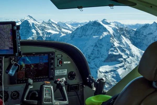
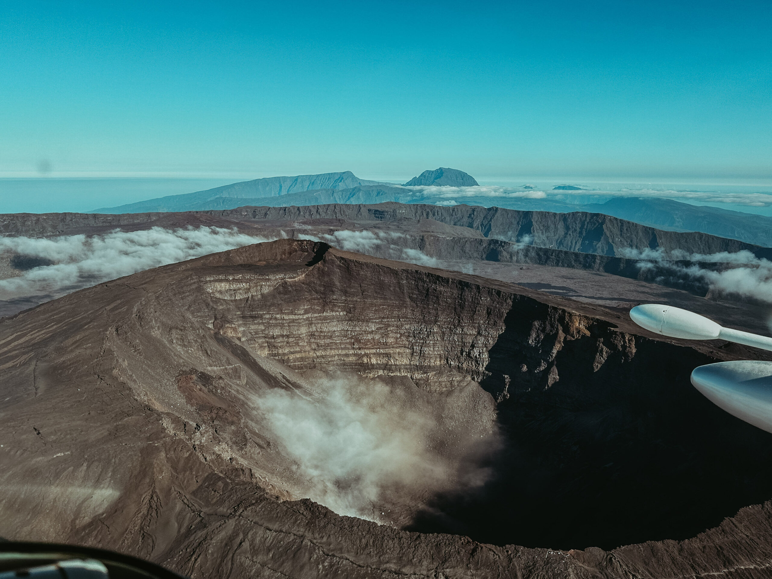
Bien que La Réunion bénéficie d’une géographie et d’un patrimoine naturel exceptionnel, avec plusieurs plages et lagons sur le littoral, de majestueux cirques au centre, un volcan et de nombreuses cascades, l’île présente aussi un climat tropical et un relief très escarpé. Ces spécificités ont contraint l’équipe SINTEGRA à ajuster régulièrement son travail, s’adaptant aux conditions météorologiques complexes, aux massifs montagneux et aux zones interdites à la captation aérienne de données (ZICAD).
Towards better land management
The stakes involved in this project are many and crucial to the sustainable management of Reunion’s territory. The HD LiDAR data produced will enable us to gain better control over the territory, thus facilitating the implementation and monitoring of numerous public policies. The data will be used for a variety of purposes, and will help to meet key challenges such as natural hazard prevention and knowledge of forest resources. By making this information available as open data, we are enabling a wide range of stakeholders to better understand and protect our territory.
A methodical, collaborative approach
To carry out this 3D mapping project for Reunion Island, SINTEGRA has defined several key missions:
- LiDAR data acquisition: Use of LiDAR technology to carry out precise topographic surveys, essential for modeling complex terrains such as those on La Réunion.
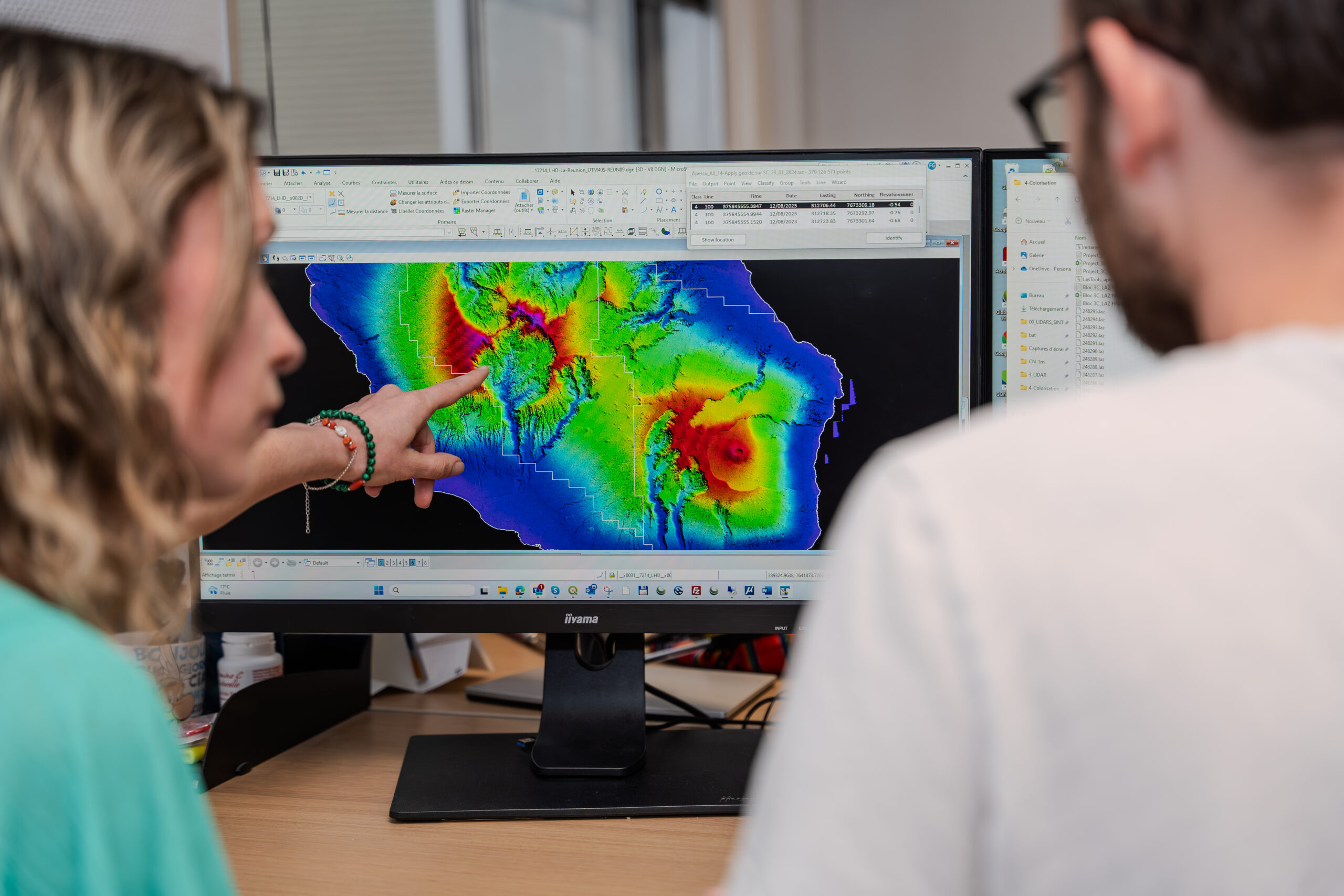
- Data processing: Analysis and processing of collected data to produce detailed maps and 3D models, essential for urban planning and natural resource management.
- Collaboration with IGN: Partnership with IGN to guarantee data accuracy and reliability, ensuring that the information produced meets the highest standards.
- Open Data: Making data available in open-data format to enable a wide range of players to exploit this information and contribute to the protection of the territory.
Innovation at the heart of the project
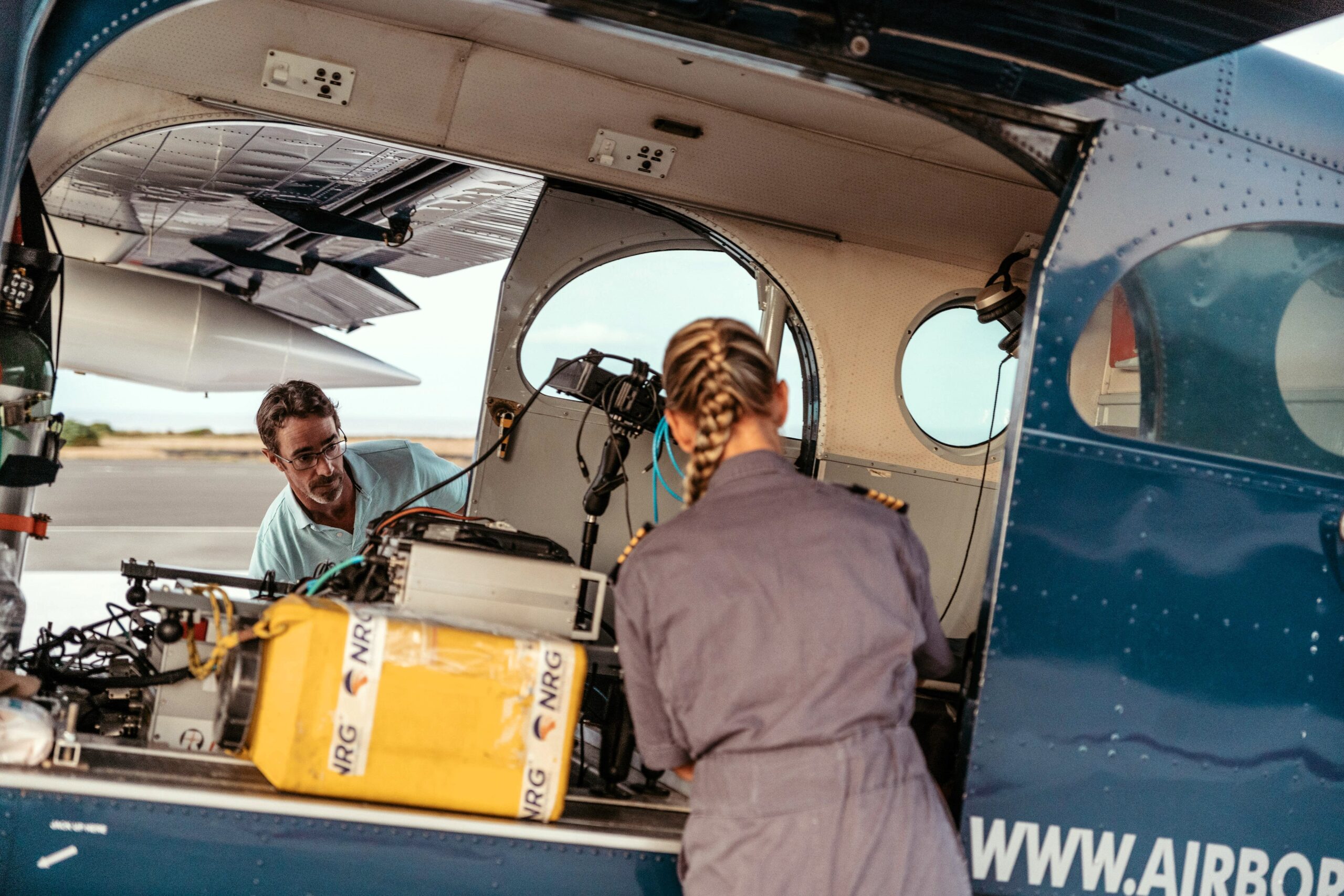
This project mobilized an aircraft and, above all, an experienced crew (consisting of a pilot and a LiDAR technician) to prepare and program flight plans, as well as to geometrize the cloud of points, along with metadata, for subsequent use by IGN.
At the heart of this project is LiDAR technology, a state-of-the-art tool for high-precision topographic surveys. To guarantee the technical specifications expected by IGN, SINTEGRA used the Riegl VQ-780 II-S, an airborne laser scanner for waveform processing offering enhanced performance and maximum productivity.
- Riegl VQ-780 II-S
- Performance: This system is capable of capturing up to 1.33 million measurements per second, thanks to a laser pulse repetition rate of up to 2 MHz.
- Versatility: Designed for efficient data acquisition at low, medium and high altitudes, it covers a variety of applications, from high-density to wide-area mapping.
- Reliability: its rotating-mirror design guarantees uniform point distribution over a wide field of view and at all flight altitudes. Based on Waveform-RIEGL LiDAR technology, it delivers point clouds with accuracy down to 2mm.
- Noise suppression: Good atmospheric noise suppression produces clean point clouds with minimum effort, allowing isolated points to be filtered out.
- Partnership with Skyhorses Aviation
- SINTEGRA collaborates with Skyhorses Aviation, a South African company specializing in aerial services, to carry out the overflights. Their expertise in technical flights guarantees accurate and efficient data acquisition.
A response to the needs of public action
The implementation and monitoring of numerous public policies require very detailed and homogeneous 3D knowledge and description of the territory. While these initial needs are at the heart of the acquisition strategy, the open data 3D model, which will then be created by IGN from the data collected by SINTEGRA on Reunion Island, will be used for many other purposes, such as natural risk prevention, knowledge of forest resources, support for the Common Agricultural Policy, etc.
Indeed, the impacts of climate change are far more marked in the French overseas territories than elsewhere: sea levels rising faster and higher, leading to problems of marine submersion, flooding risks, soil and aquifer salinity, disrupted agricultural practices, drinking water resources, and therefore health. Water, a common good, requires urgent, long-term and localized responses in the French overseas territories.
In this way, maps and geodata can become shared tools for reorganizing territories and the communities that inhabit them, providing the State and local authorities with the capacity to lead these changes.
A step forward for the region
Thanks to the use of LiDAR technology and close collaboration with IGN and Skyhorses Aviation, 3D mapping of La Réunion provides valuable data for sustainable land management. By supporting public policies and promoting ecological transition, this project illustrates how technological innovation can serve ambitious environmental objectives.