Aerial

Thanks to its expertise in aerial photogrammetry and LiDAR, SINTEGRA is able to offer innovative solutions for high-precision surveys.

Our teams are made up of experienced pilots and operators, using airplanes, helicopters, microlights and drones equipped with state-of-the-art photo and LiDAR sensors.

Each aerial mission is specific and tailored to your needs. Whether you have an infrastructure project, network management or natural hazard monitoring, we provide you with clear, detailed data.

Read more
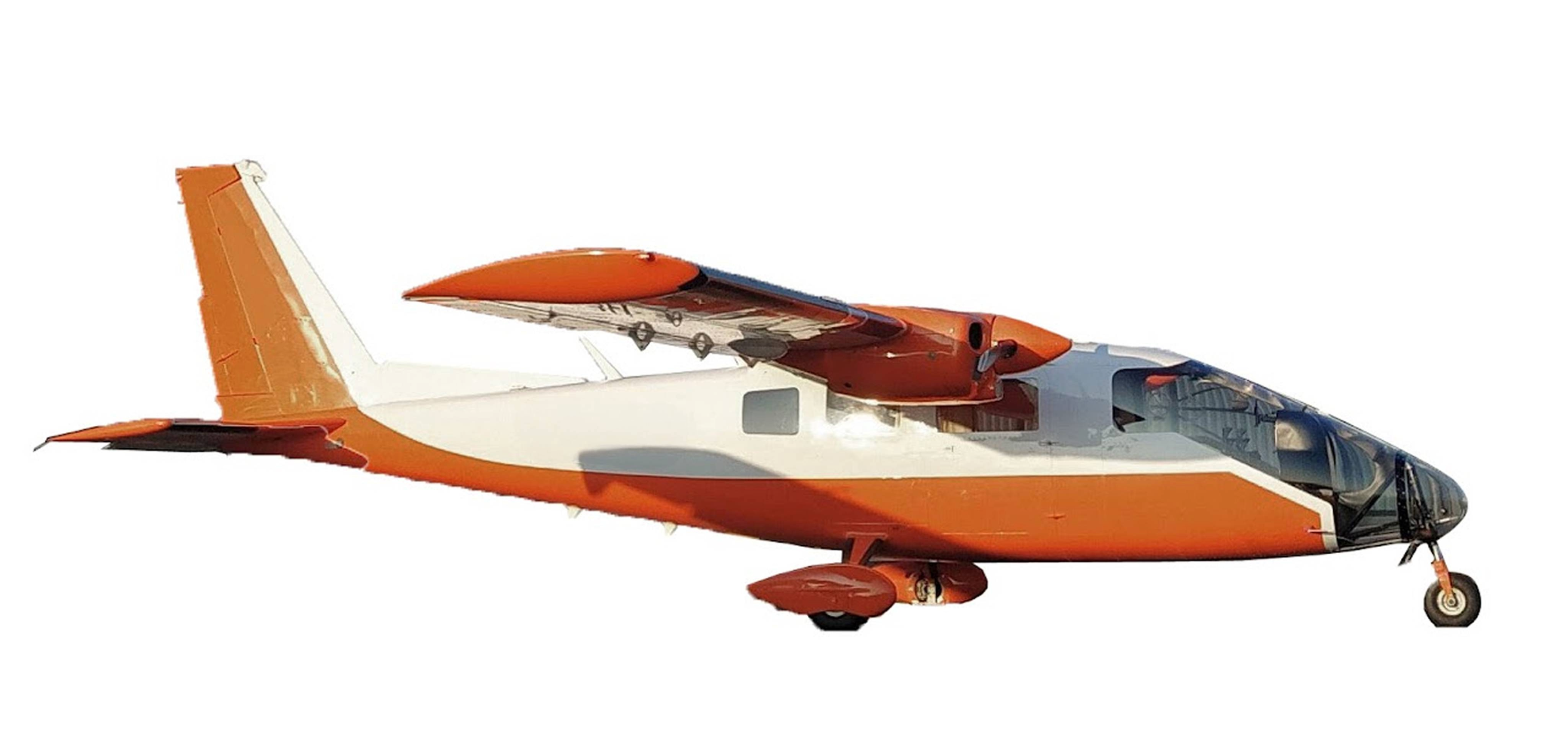
Partenavia p68 5

Our services

SINTEGRA carries out high-precision aerial surveys and cartography using advanced technologies, adapted to national and international projects.

Photogrammetric surveys

Using high-resolution images captured by plane, helicopter or drone, we produce :

  • Vector photogrammetric plans
  • Orthophotoplans
  • Digital twins of the territory
  • 3D models and MESH
  • Building models (LOD1 to LOD3)
  • Solar cadastre

Airborne Lidar

SINTEGRA is a pioneer in the use of airborne lidar for dense, precise topographic surveys, particularly in vegetated environments or on complex terrain:

  • Classified point clouds
  • Digital terrain, surface and elevation models
  • Cross-sections and longitudinal sections
  • Calculating differential volumes

Monitoring and control

We offer solutions tailored to your monitoring and analysis needs, including :

  • Fire fighting
  • Monitoring linear infrastructures
  • Agricultural control
  • Thermography and infrared

Thanks to its latest-generation equipment, SINTEGRA guarantees high-quality services that meet the requirements of the planning, environment and infrastructure sectors.

Our strengths

To best meet your aerial needs, it’s essential to be able to intervene quickly when conditions are optimal. This means having an extensive fleet of adapted aircraft and sensors.

In order to offer you a high quality service, we provide you with the largest French fleet dedicated to this activity:

3
Vexcel large format cameras
2
Osprey oblique Vexcel cameras
4
PhaseOne medium-format cameras
3
400kHz Riegl lidars
3
Riegl VQ780II-S 2 MHz lidars
2
2 MHz Optech T2000 Lidar
1
Riegl VQ-1460 Lidar at 4.4 MHz

Our fleet

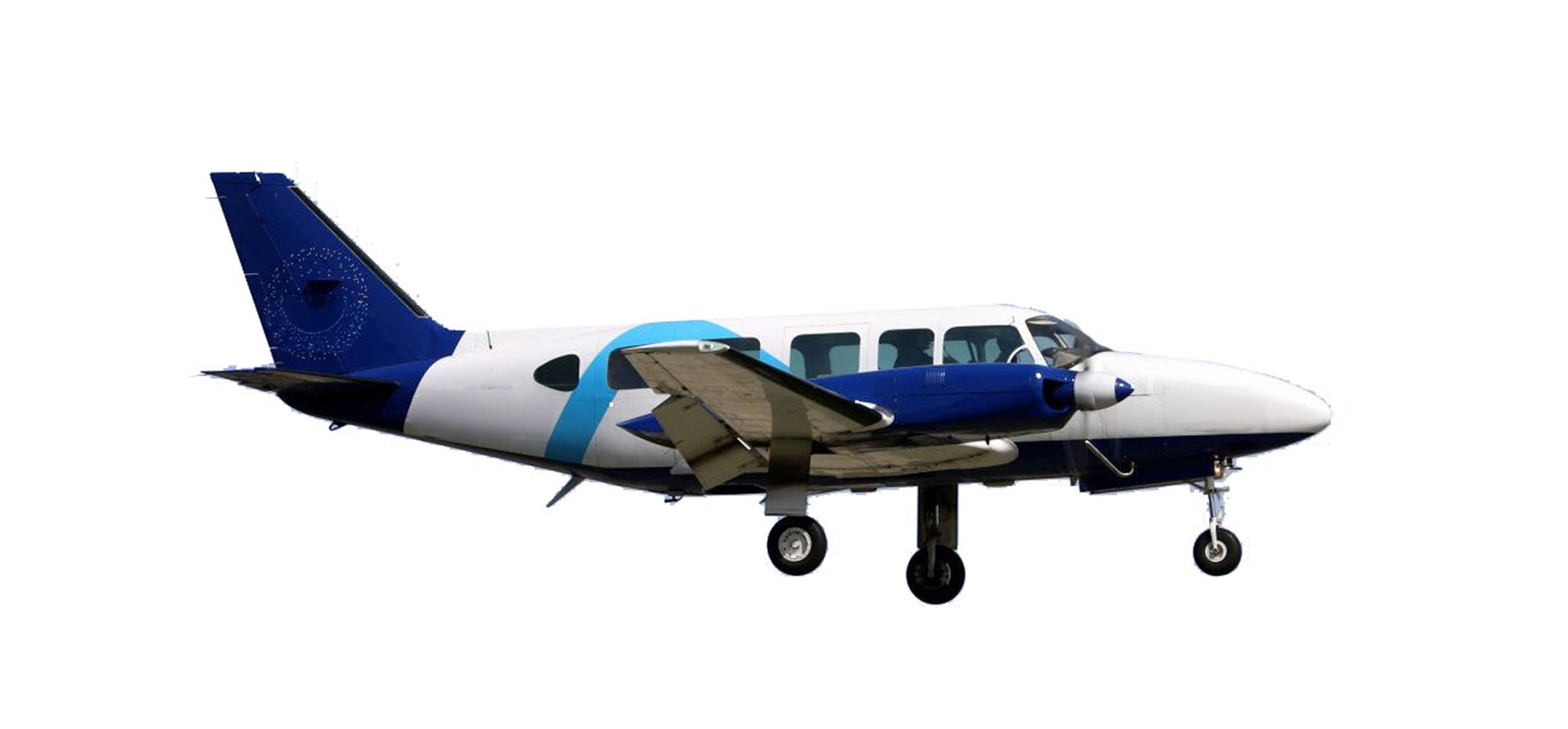
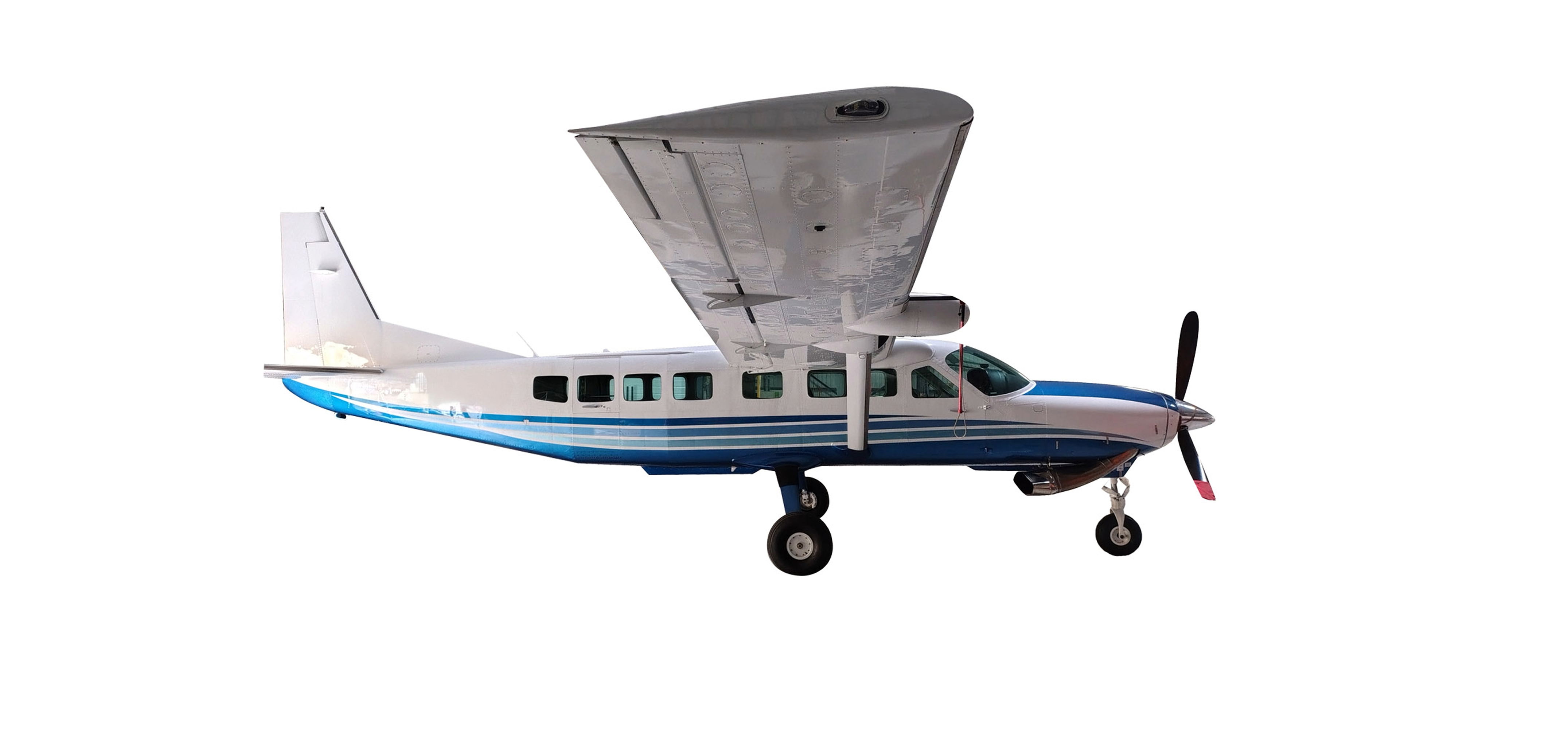
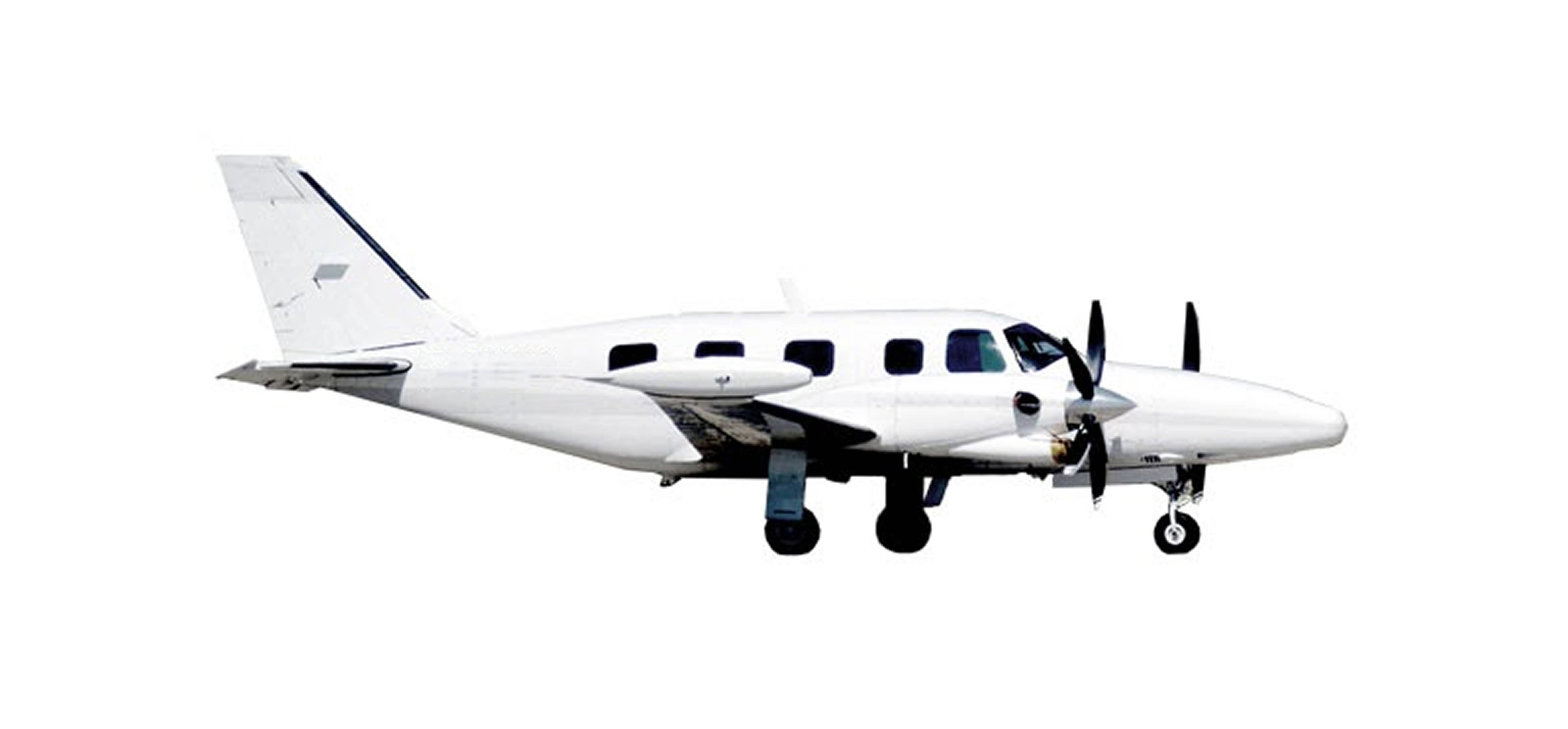
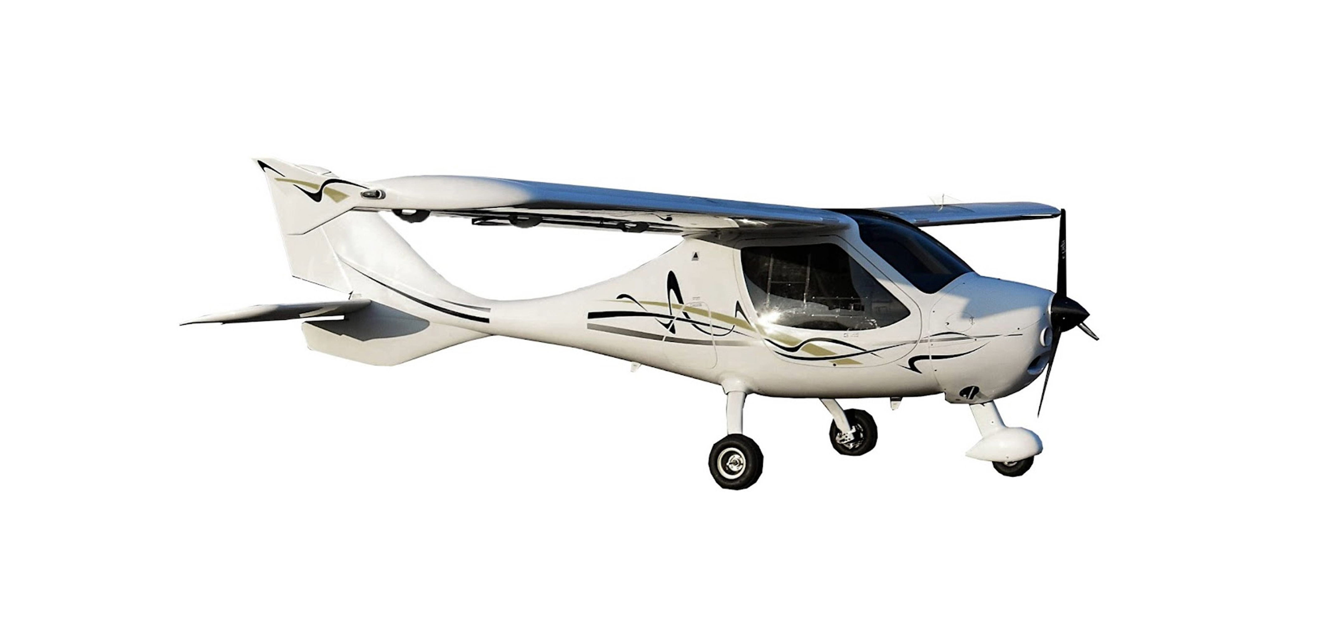
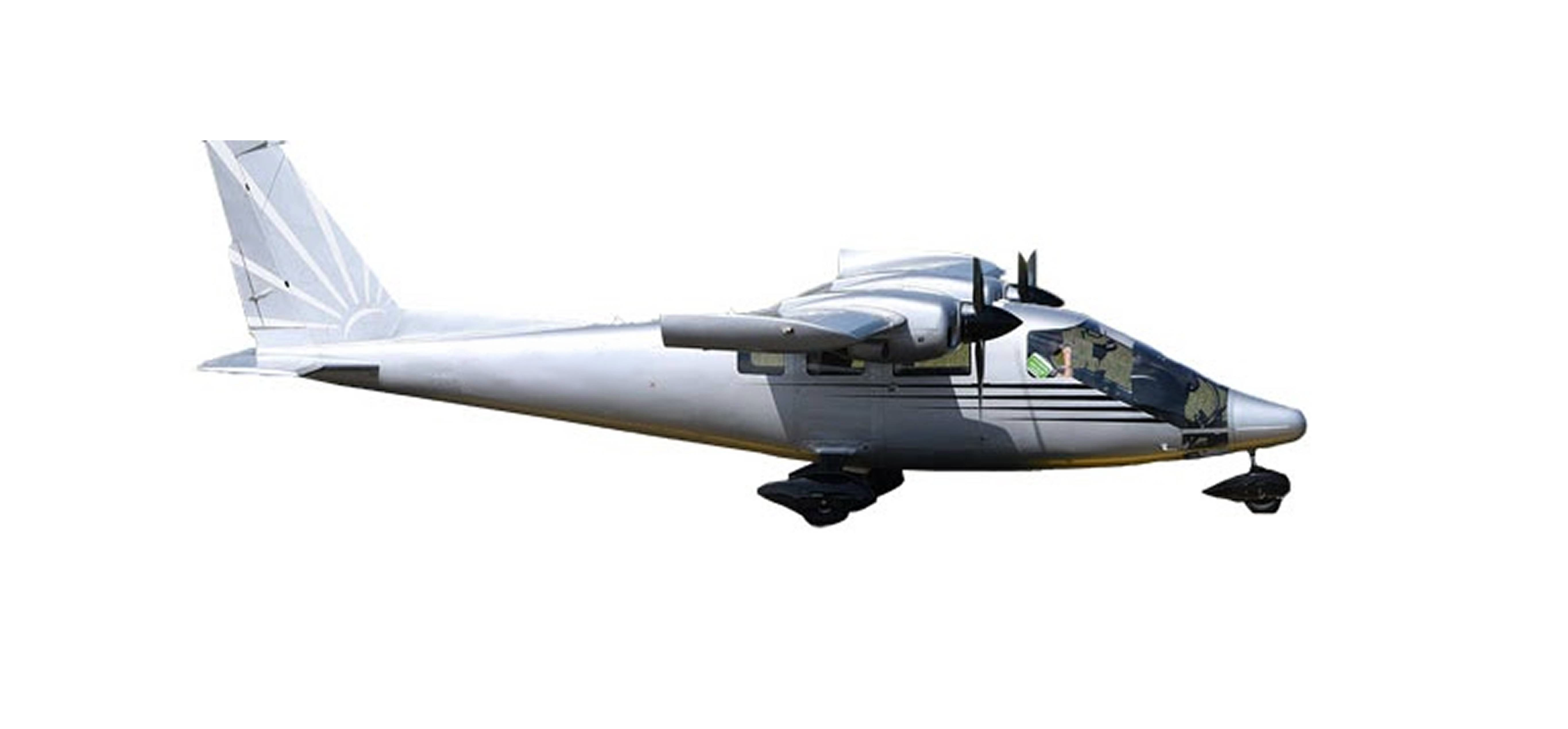
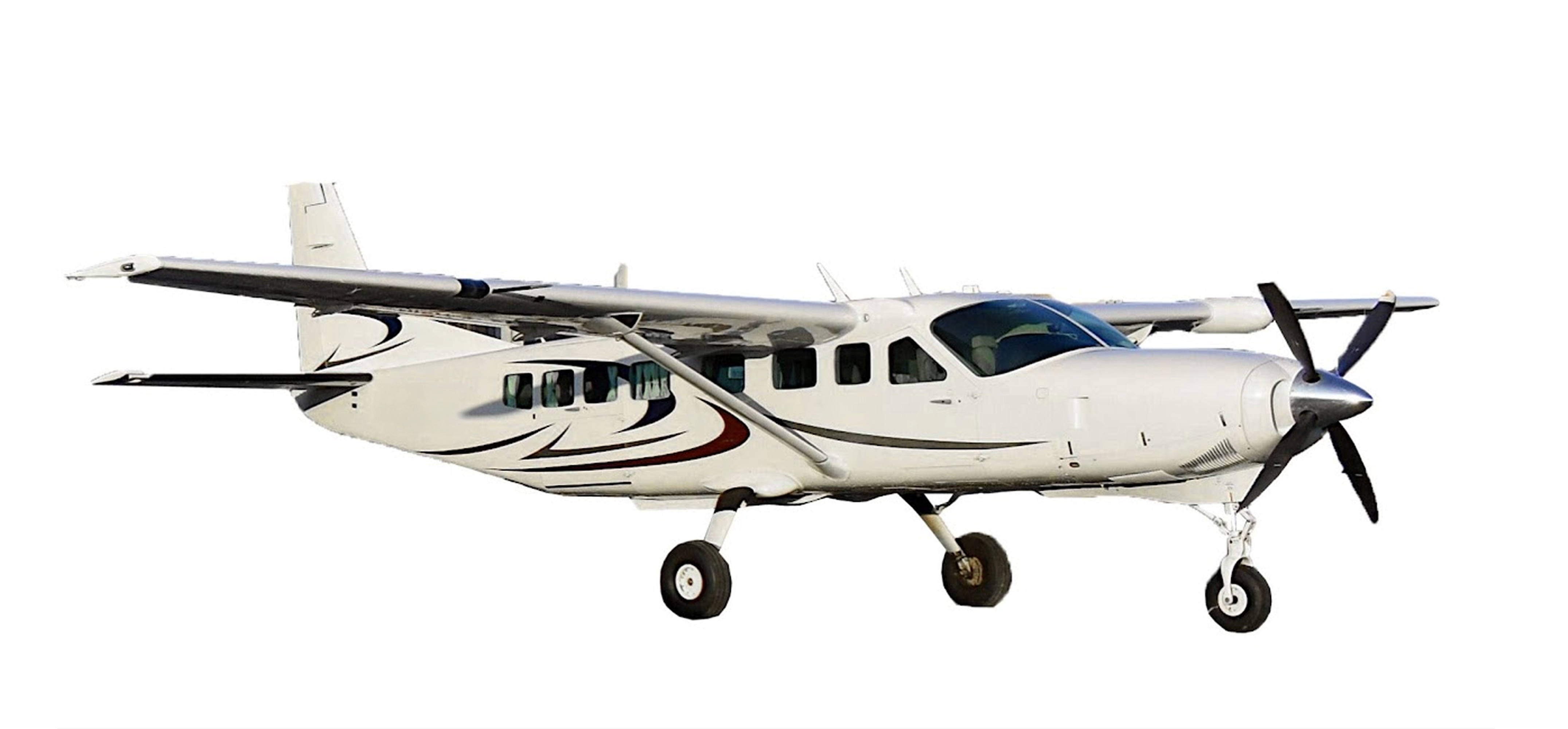
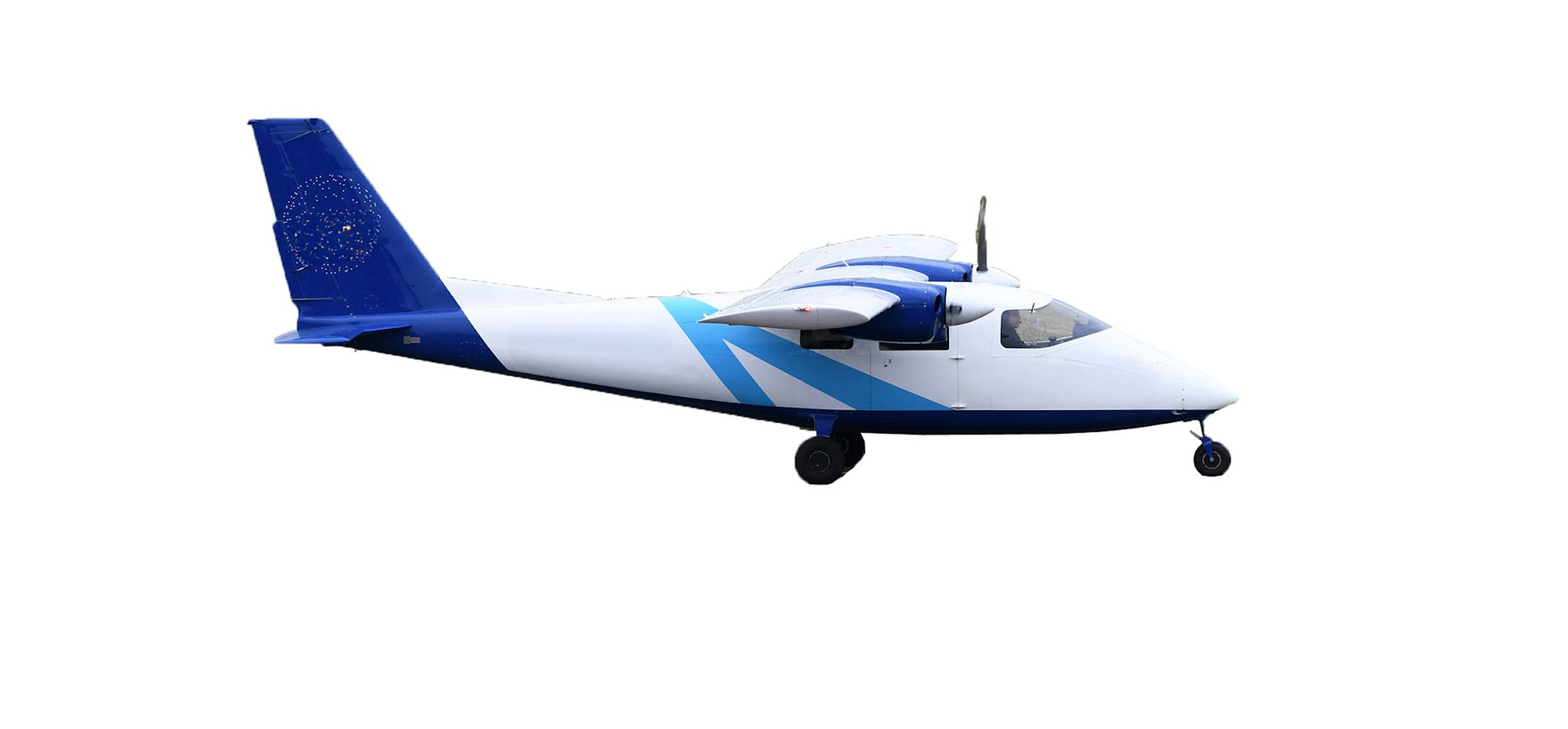
Discover our SINTEGRA fleet of 8 aircraft, including a microlight and 3 twin-deckers, dedicated to high-precision topographic and cartographic surveys.

Discover our skills

aerial view of the La Réunion project withIGN

Read more
Transport networks & infrastructure
Energy & distribution networks
Environmental studies & risks
Architecture & heritage
Industry
Regional planning

Our expertise

Every day, our teams use cutting-edge technologies to revolutionize cartography.

Our expertise

Do you have a question?