
Topography

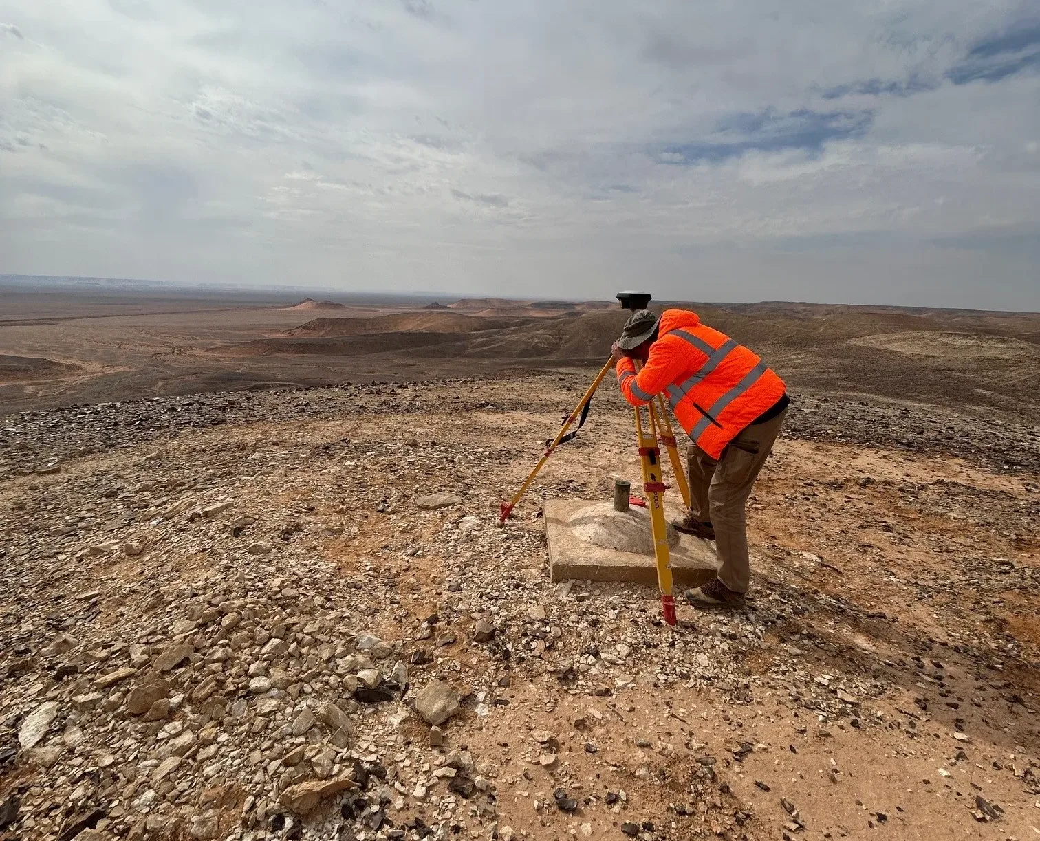
SINTEGRA provides high-precision topographic and geodetic surveys for a wide range of projects, including land-use planning, infrastructure management and environmental studies. Our experienced surveying teams operate in Isère as well as nationally and internationally.

We produce 2D and 3D topographic plans for a wide range of projects, from urban planning to industrial site modeling. Our deliverables include detailed technical reports, photo-realistic 3D models, digital mock-ups and geo-referenced data, ensuring compliance with standards and relevance for your technical studies and volume calculations.

Un topographe vêtu dune veste orange haute visibilité utilise un théodolite pour prendre des mesures à lextérieur dun bâtiment, en se concentrant sur une cible tenue par un autre individu habillé de la même manière. La structure est dotée de grandes fenêtres et dune passerelle accueillante.

Our services

  • Setting up reference polygonation: Implementation of geospatial databases to ensure optimum survey accuracy.
  • Topographic surveys: Collection of precise field data, including heights and distances.
  • Building surveys: Detailed surveys of existing structures, with millimetric precision.
  • Production of BIM models: 3D digital modeling of buildings, facilitating construction and maintenance management.
  • Regional, national and international projects: Projects in various geographical and regulatory contexts, some in partnership with IGN or the GEOFIT Group.
  • Use of advanced technologies: Use of techniques such as LiDAR and GNSS systems for high-precision surveying and modelling.

SINTEGRA has in-house expertise in a wide range of techniques, from conventional surveying to advanced methods such as drone surveys and LiDAR. This versatile approach enables our teams to select the most appropriate method for each project, optimizing costs, speed of execution and quality of the final product.

Transport networks & infrastructure
Energy & distribution networks
Environmental studies & risks
Architecture & heritage
Industry
Regional planning

Our expertise

Every day, our teams use cutting-edge technologies to revolutionize cartography.

Our expertise

Do you have a question?