Specialist in Topography & Photogrammetry

For 70 years, SINTEGRA has been innovating in topography, cartography and photogrammetry by investing in advanced technologies.

Our fields of activity

Our expert and passionate teams tackle the most ambitious challenges on a global scale. Our technologies help our customers to make informed decisions.

Infrastructure & transport
Energy & distribution networks
Environmental studies & risks
Architecture & heritage
Industry
Regional planning

At your side for more than 70 years to make your projects a reality

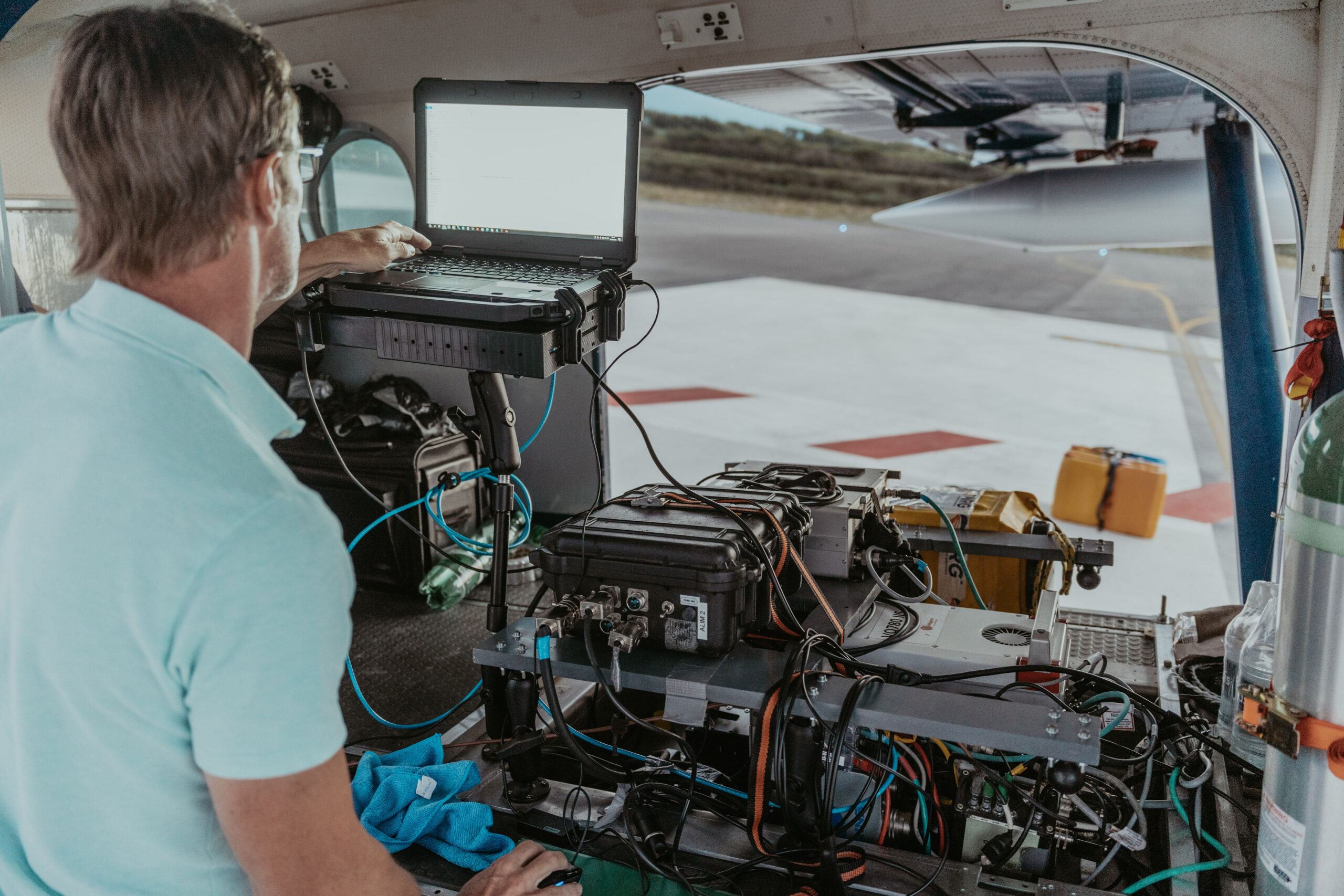
A person in a light blue shirt works on a laptop connected to various electronic devices inside a plane, busy with an airborne acquisition project. The aircraft door is open, revealing the tarmac and runway outside. Cables and equipment are strewn everywhere.

At the heart of innovation

As part of the GEOFIT Group, SINTEGRA constantly invests in state-of-the-art technologies. A pioneer in its field, SINTEGRA is the oldest private aerial mapping company in France. First to use airborne LiDAR, we also operate the largest private fleet of dedicated aircraft.

This capability allows us to offer mapping and data acquisition services with unmatched precision, adapted to a wide range of sectors. Thanks to our expertise and latest-generation equipment, we meet the most complex needs of our clients, both nationally and internationally.

Discover our commitments

About SINTEGRA

Our experts combine their talents to meet our customers' challenges. Surveyors, cartographers, technicians and engineers, each brings a unique expertise. Their creativity is the key to our day-to-day success.
Together, we innovate to offer tailor-made solutions to our partners' challenges. Each project is an opportunity to demonstrate our know-how and our commitment to delivering high-quality results, while respecting deadlines and technical requirements.
Our identity
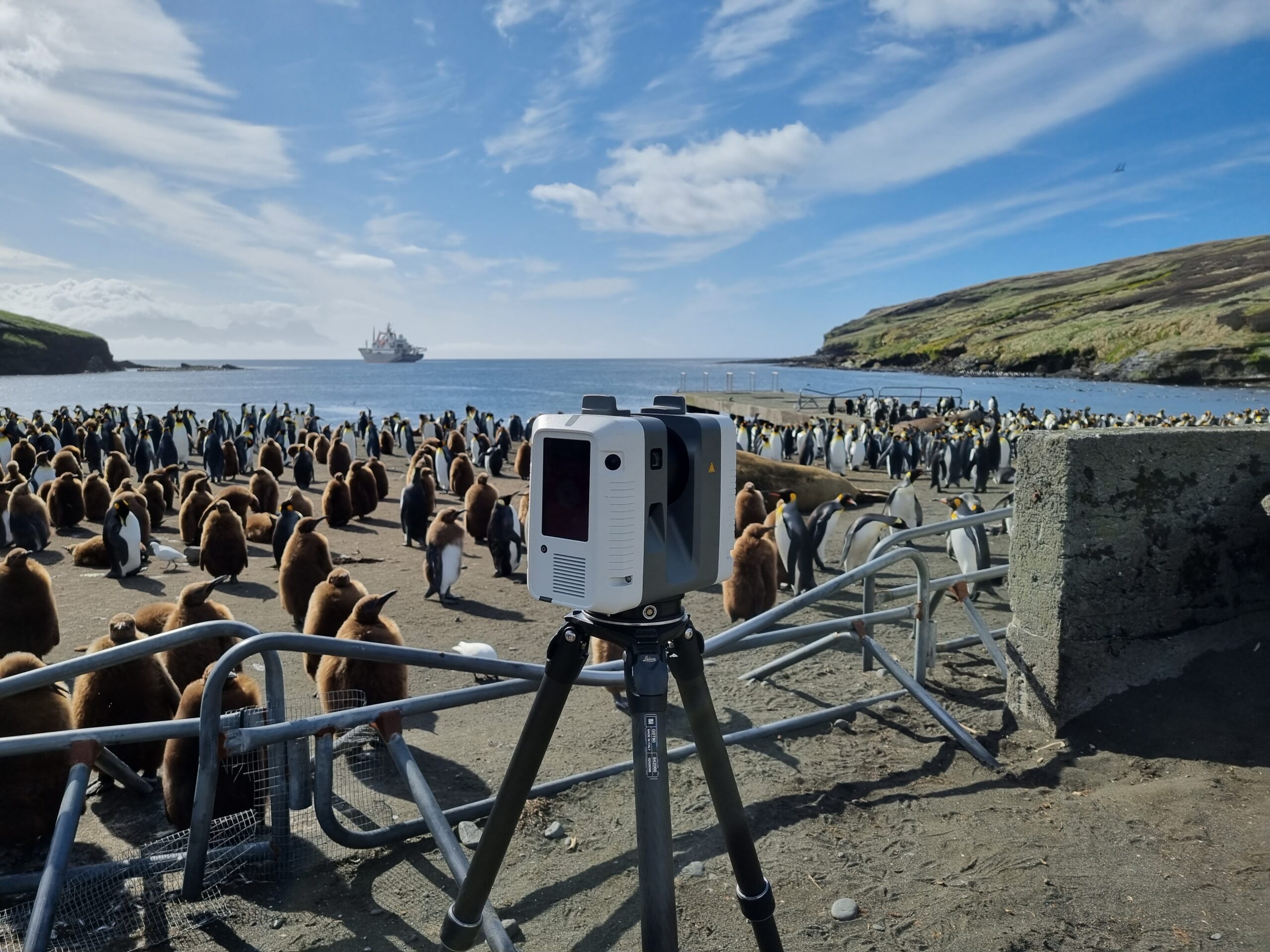
A 3D scanner on a tripod is installed in front of a large penguin colony on a beach in the TAAF : French Southern and Antarctic Lands. Locéan and a ship are visible in the background under a partly cloudy sky, with metal barriers surrounding the scanner area.