Thanks to its expertise in aerial photogrammetry and LiDAR, SINTEGRA is able to offer innovative solutions for high-precision surveys.
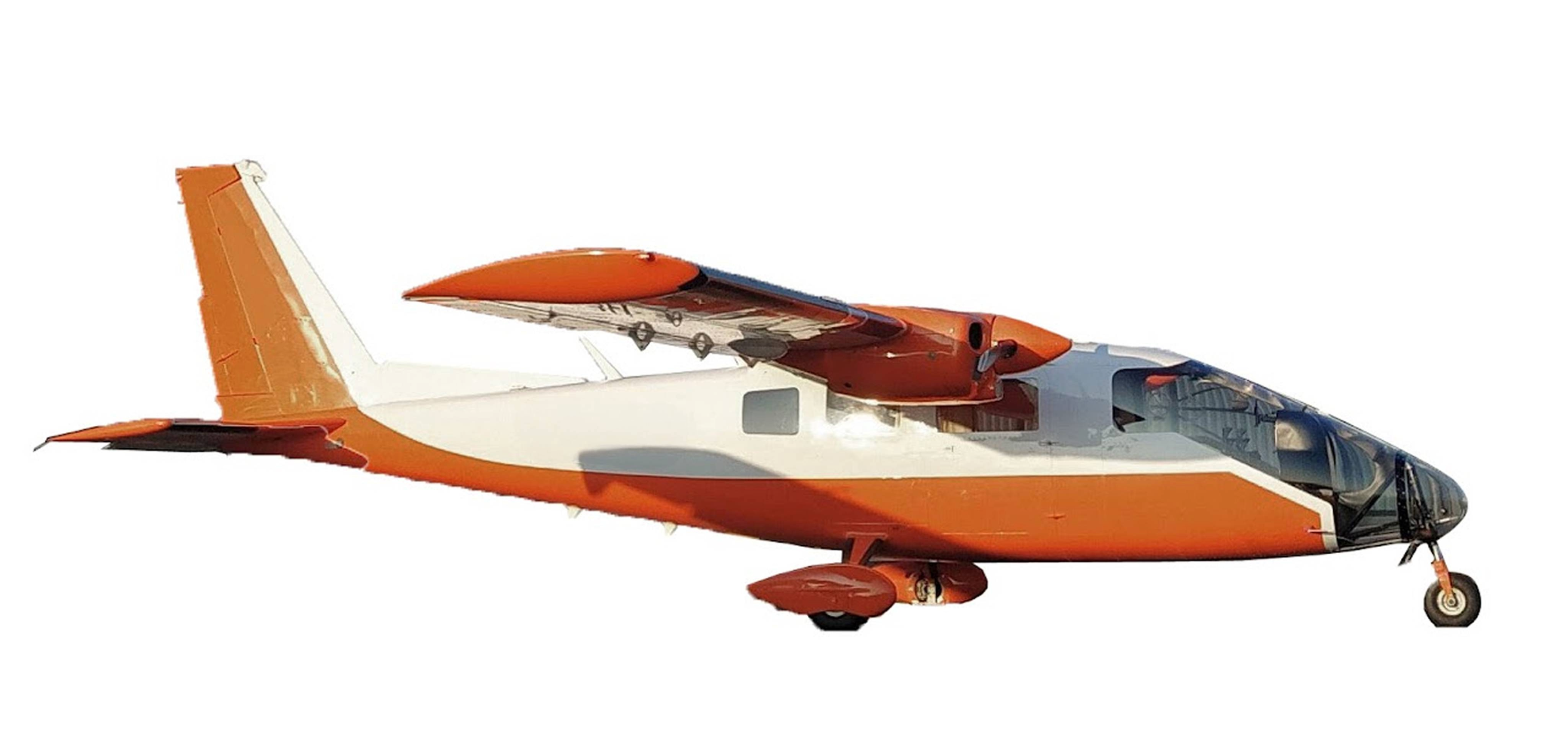
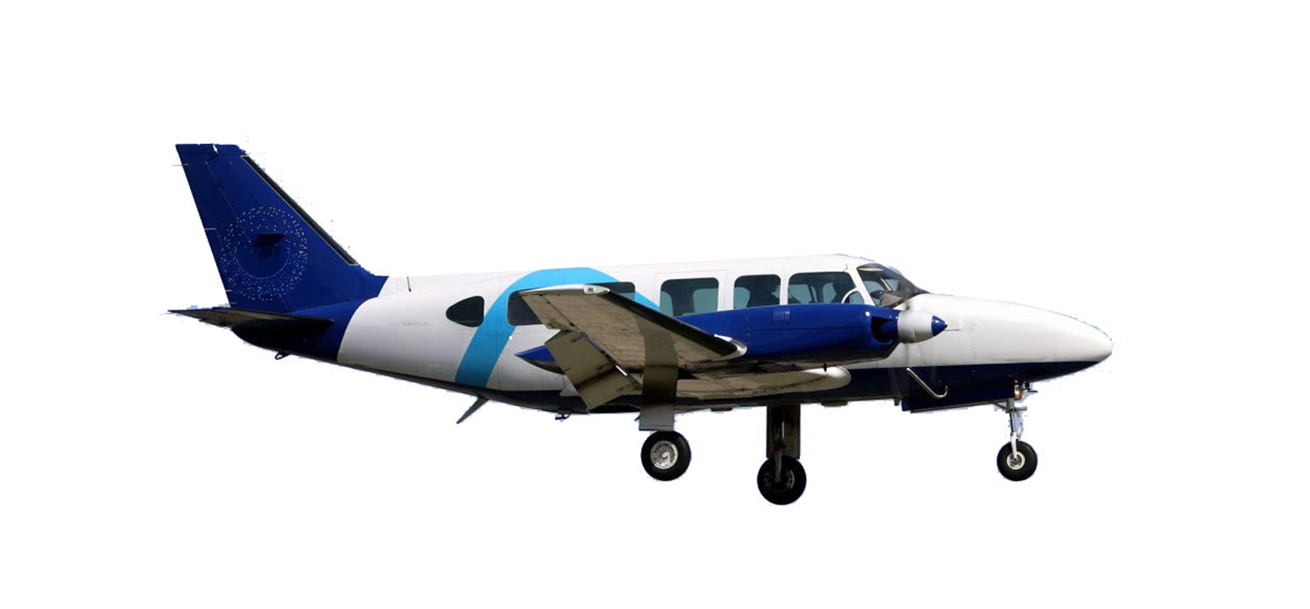
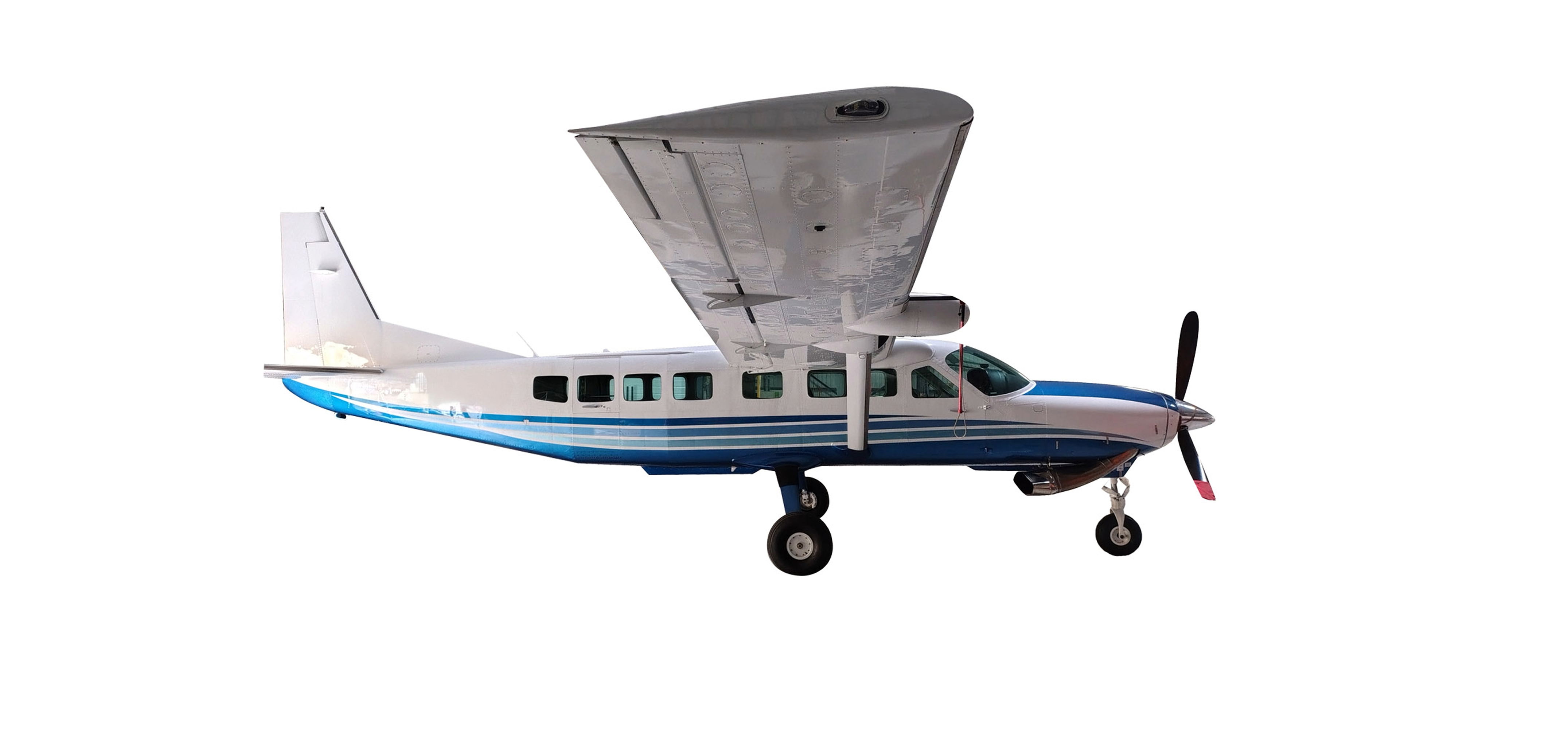
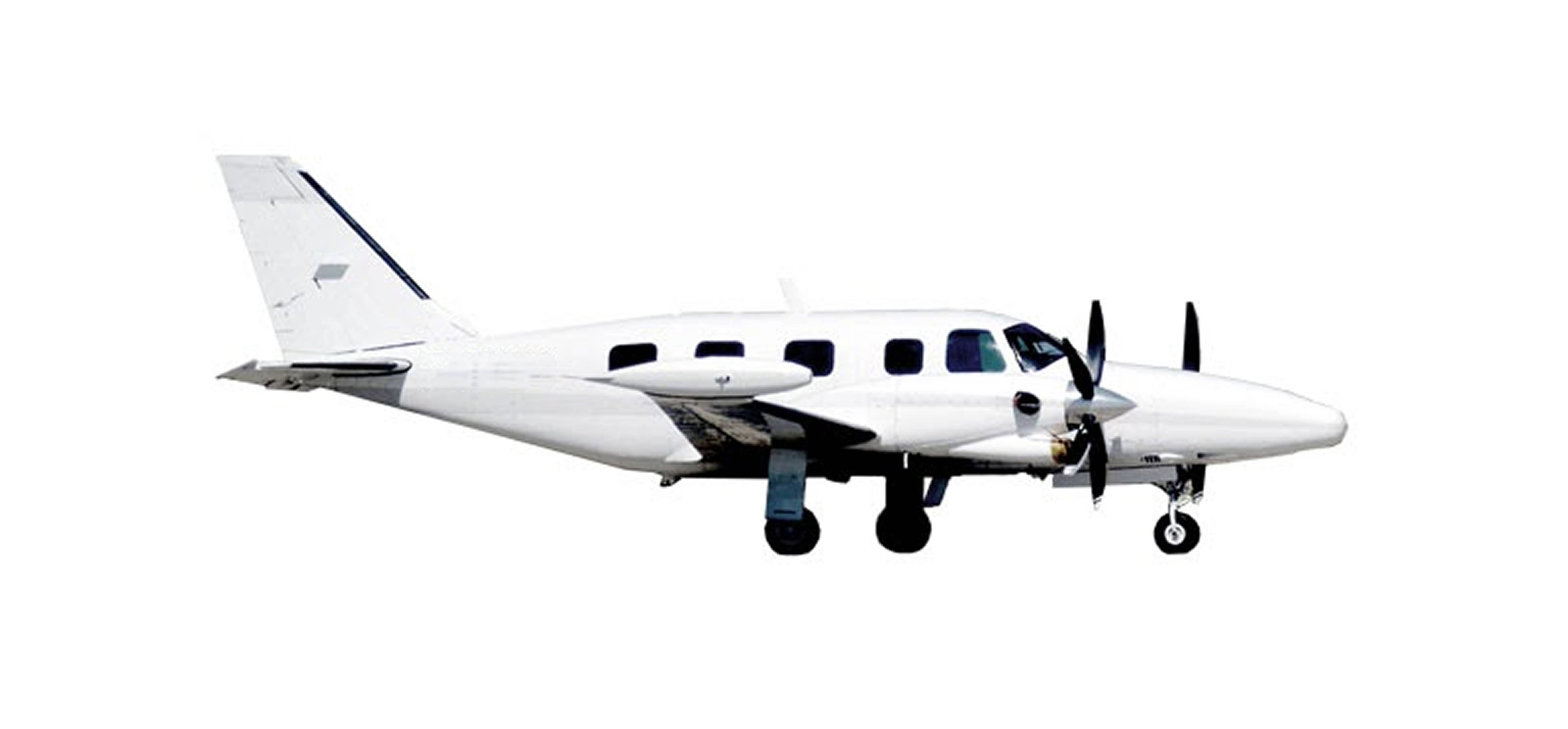
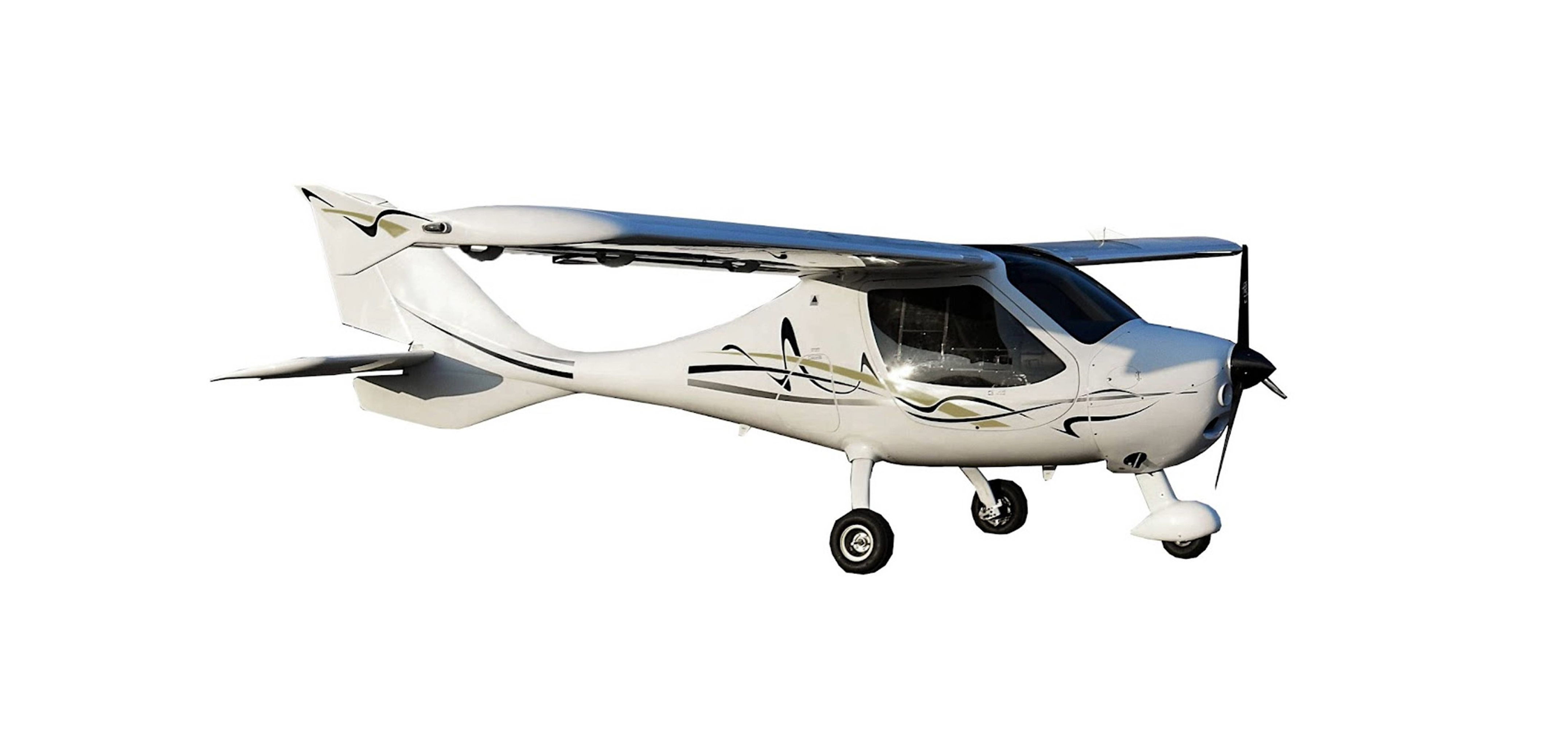
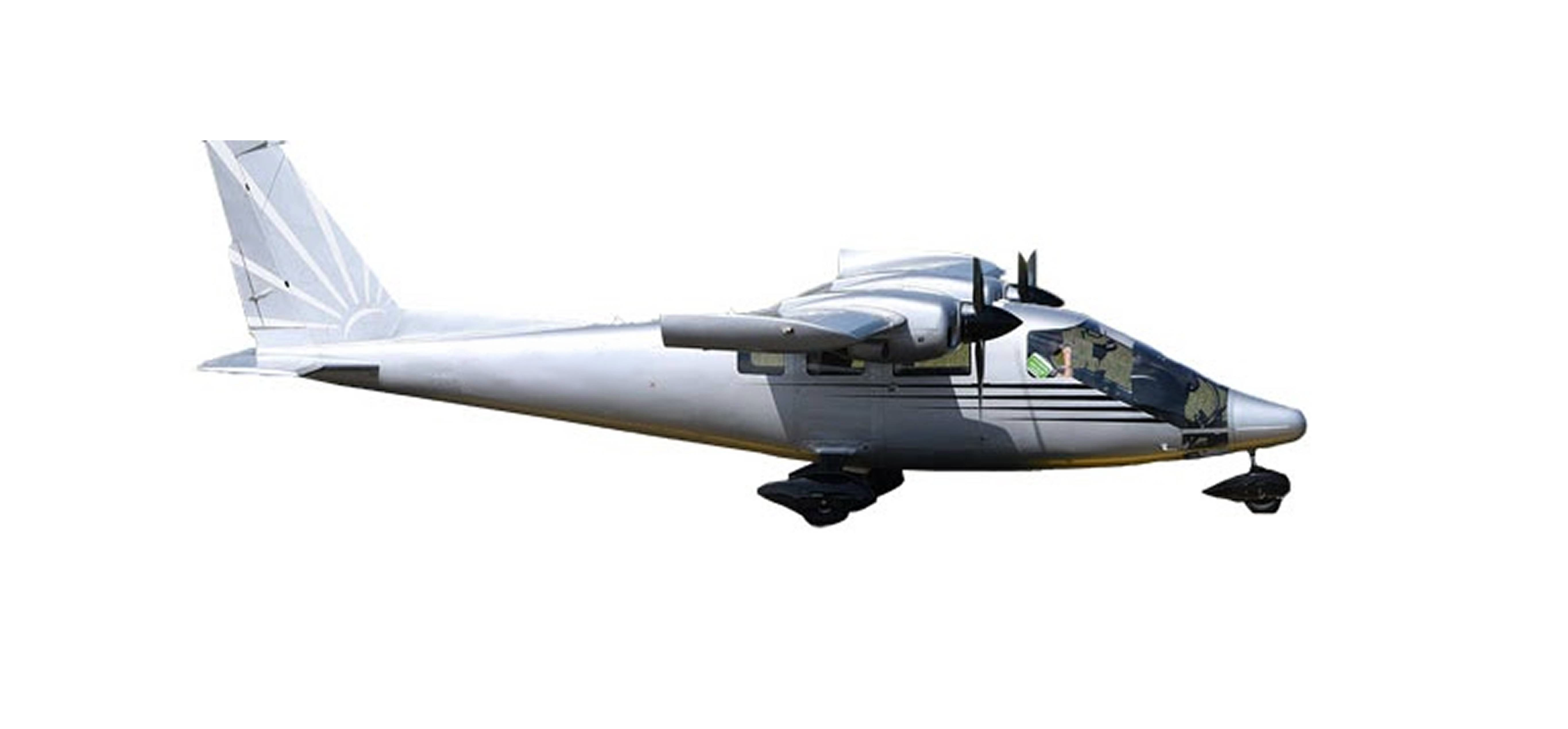
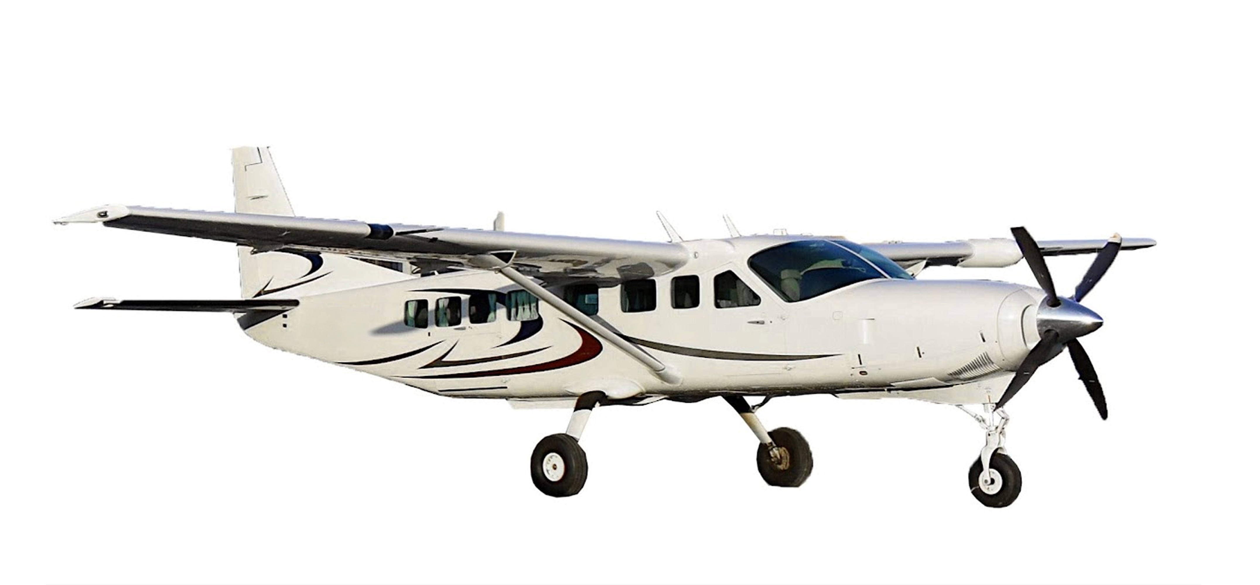
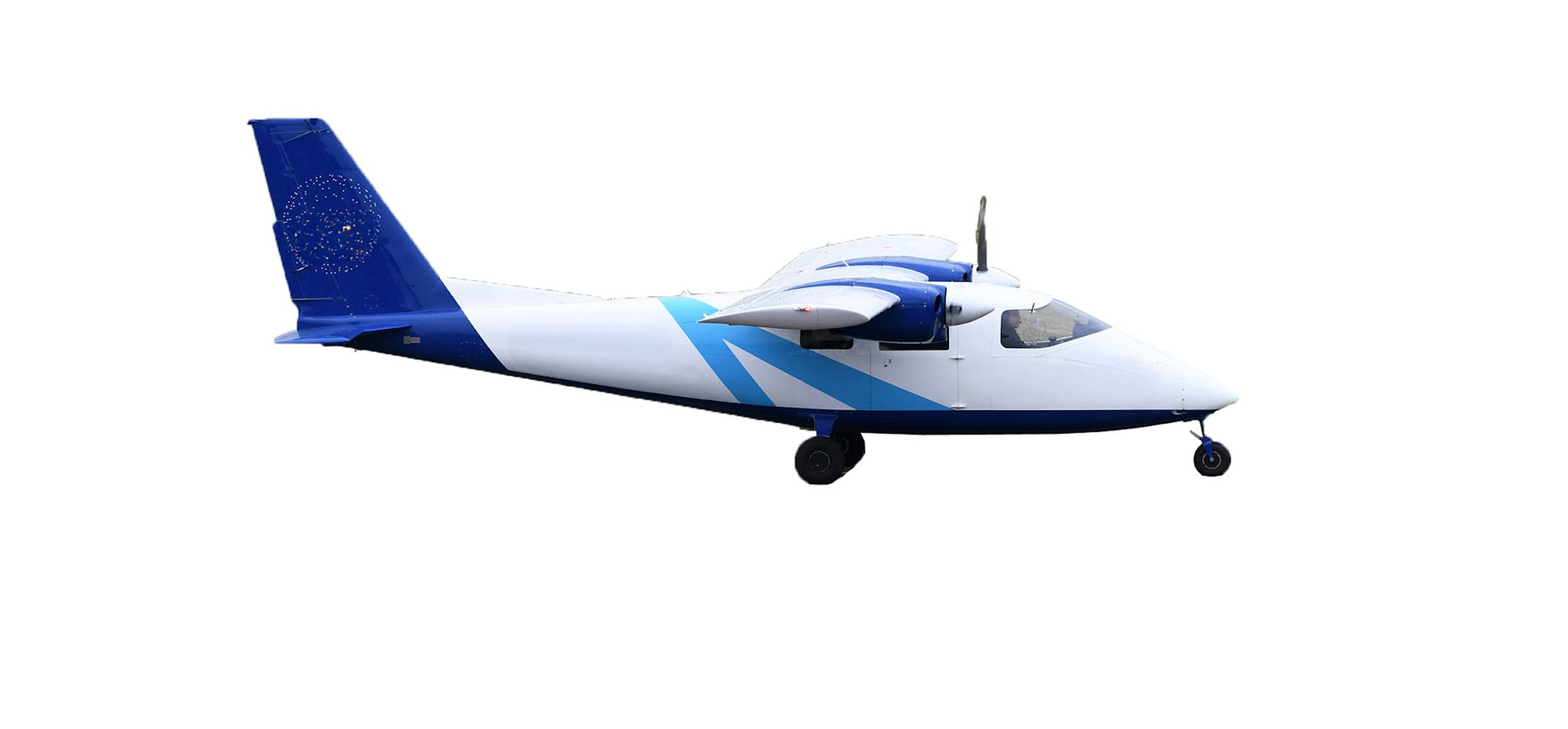
Our teams are made up of experienced pilots and operators, using airplanes, helicopters, microlights and drones equipped with state-of-the-art photo and LiDAR sensors.
Each aerial mission is specific and tailored to your needs. Whether you have an infrastructure project, network management or natural hazard monitoring, we provide you with clear, detailed data.


