
Regional planning

SINTEGRA is involved in land development projects, carrying out complete studies from site survey to acceptance of work. We take care of subdivision projects, building permits and administrative document management. SINTEGRA guarantees compliance with current standards and the monitoring of work to ensure that projects run smoothly.

Vue aérienne dune gare moderne avec un toit géométrique caractéristique, entourée de grues, de chantiers de construction et de bâtiments urbains. Les routes et espaces verts à proximité illustrent laménagement stratégique du territoire, mettant en valeur une zone urbaine en cours de développement.

SINTEGRA features :

  • LiDAR: a laser technology that creates highly accurate 3D models of the terrain.
  • Aerial acquisition: high-resolution aerial photos for an overview of your territory.
  • Mobile mapping system: vehicles equipped with sensors to map streets and infrastructures.
  • OneGeo Suite: an intuitive platform for visualizing, analyzing and sharing your territory’s data.
  • Artificial intelligence: our AI rapidly analyzes large quantities of data to provide you with maps and information relevant to your decision-making.

Our strengths

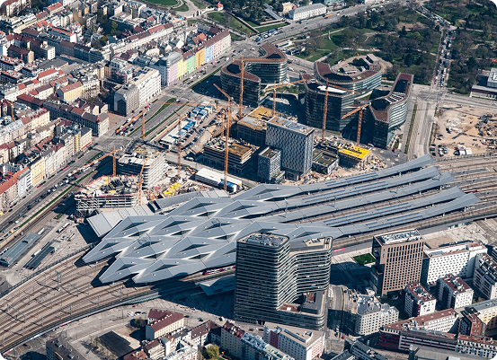
IGO, a subsidiary of the GEOFIT Group, is the leader in the creation of 3D digital twins of territories. Thanks to our expertise and technologies, we can offer you an ultra-precise digital representation of your territory, to within 5 cm.

We use orthophotoplans and oblique or high-density LiDAR shots to create a 3D model in Mesh and City GML. This model is then integrated into a GIS (Geographic Information System) platform to give you a complete, interactive view of your territory.