Natural hazards & environmental studies: landslides, floods, avalanches, prevention and civil defense, vulnerability studies, glaciology and forestry…
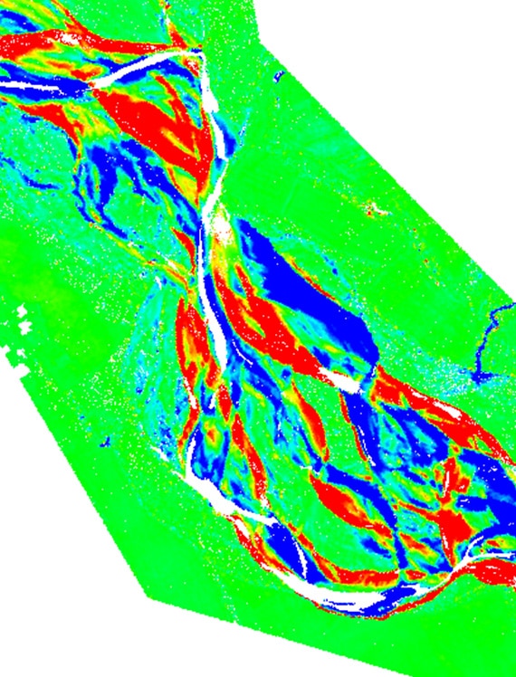
Natural hazards which may be a threat to populations or infrastructures call for preventive actions. This involves vulnerability studies based on mapping tailored to their specific characteristics.
For many years now, climate change and its direct effects on our environment have been the focus of both the scientific community and those in charge of overseeing the public space. This has stimulated the deployment of many programs and environmental studies.
Our expertise in topographic surveys and geotechnical and structural monitoring/GNSS is used to produce a wide range of assessments including rock fall trajectories, terrain modeling, monitoring the cinematics of landslides, flood risk management surveys, forestry management surveys, and glacier mass balance studies, among others.